


You may also like
-
Ancient map of Rome Poster
Friedrich Arnold Brockhaus · 1883 · Detailed Rome map vintage print tracing the Tiber with crisp labeled districts
Poster from €9 · Framed from €16
Regular price From €6,00Regular price -
Ancient map of London Poster
Friedrich Arnold Brockhaus · 1899 · Detailed London map poster tracing the Thames and street grid in muted tones
Poster from €9 · Framed from €16
Regular price From €6,00Regular price -
Earth poles Poster
Friedrich Arnold Brockhaus · 1897 · Detailed polar regions vintage print with blue seas and precise black map lines
Poster from €9 · Framed from €16
Regular price From €6,00Regular price -
Eastern division of Paris Poster
James Shury · 1834 · Finely engraved Paris map poster with dense street detail and crisp black linework
Poster from €9 · Framed from €16
Regular price From €6,00Regular price


-

"Very nice Posters. The quality is amazing and we received it very quickly !"
-

"A shop to visit absolutely. Huge selection of posters. We spent more than an hour there !"
-

"Perfect to find gift. Price are very good. An they can frame and pack it on site"


About the Artist
Friedrich Arnold Brockhaus was a renowned German publisher and bookseller, whose Leipzig-based publishing house became synonymous with high-quality reference works across Europe. Although Brockhaus himself lived earlier than this 1894 map, his legacy continued through the imprint, which set standards for accuracy and clarity in educational publishing. The Brockhaus name became closely associated with encyclopedias and atlases that shaped public knowledge in the 19th century.
By the late 1800s, Brockhaus publications played a key role in making reliable cartography accessible to a wider audience. This tradition of excellence is reflected in this Paris map, which stands as a testament to the era's commitment to informative and beautifully crafted reference materials. For more historical cartography, browse our maps collection or discover related works in beige wall art.
The Artwork
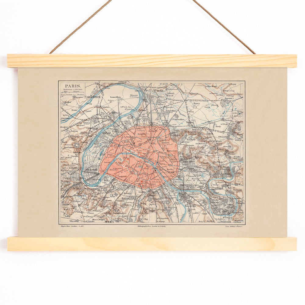
This 1894 map of Paris was produced during a period when the city was celebrated as a model of urban planning and civic order. Such maps were created for encyclopedias and libraries, serving readers who needed a clear, authoritative overview of the capital rather than a decorative or romanticized vision. The map captures Paris at a time of modernization, presenting its boulevards, districts, and landmarks in a way that reflects the city's evolving identity as a center of culture and innovation.
Today, the map offers a historical snapshot of daily life and movement in late 19th-century Paris, appealing to those interested in urban history, travel, and the development of European cities.
Style & Characteristics
The map features a balanced, document-like composition with meticulous linework that organizes the intricate street network. Strong red outlines define the city’s boundaries and key routes, while the river Seine is rendered in a cool blue that stands out against the warm beige background. Dense labeling rewards close inspection, inviting viewers to trace the city’s neighborhoods and landmarks.
The overall palette of beige, blue, and red creates a scholarly yet nostalgic atmosphere, making this vintage print both precise and evocative. Its archival quality and subtle coloration lend it a timeless appeal, suitable for a refined gallery wall or study.
In Interior Design
This Paris map vintage print is ideal for spaces like a home office, hallway, or library, where art with historical depth adds character. Its neutral tones complement minimalist, Scandinavian, or classic interiors, while the intricate detail provides visual interest.
Pair the print with linen textiles or natural wood frames to echo its archival feel, and use blue or red accents in decor to harmonize with the map’s highlights. For more framing options, see our frames collection.